What combinations of clouds are present? How frequently do they repeat? Where are they forming? Are they growing tighter or looser? Where is the light coming from?
 |
|
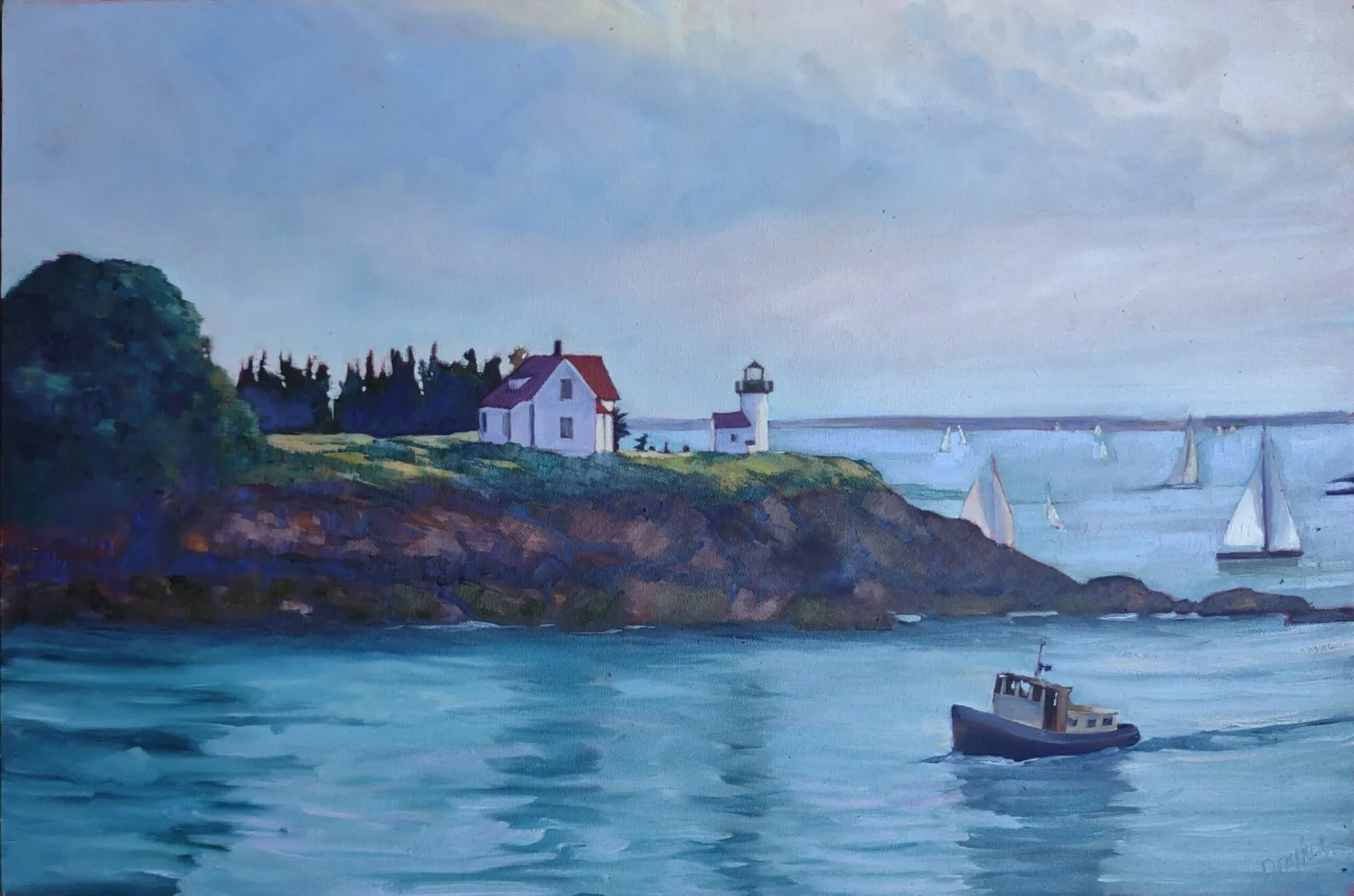
They wrested their living from the sea (Advocate Harbour), by Carol L. Douglas
|
Yesterday, I gave a lesson on perspective in clouds. It’s also important to understand the variety of clouds in the sky.
When you’re on the edge of something big, like a mountain range or an ocean, the clouds often scramble themselves into strange and magnificent patterns trying to adjust to the updraft of odd air. Erie PA and the Tug Hill Plateau have bewitching skies because they’re drafting on a Great Lake. (That’s also why they get so much snow.)
Clouds are classified by their shape, the altitude they form at, and their opacity. All are important to the painter.
 |
Cumulus clouds are the big, generous puffy clouds we love to paint. The ones that form pillows tend to be low in the atmosphere; the smaller ones are higher up. Cumulus clouds have flat bottoms and puffy tops. As a rule, the bigger the clouds, the more there is cooking, convection-wise.
Cumulus clouds can join up to create massive cloud sheets. These stratocumulusclouds are different from stratus clouds in that they’re warped, buckled, and rolled. Where they drift over land, the extremes of weather are reduced. That makes them both good and bad news in the Great Lakes regions: they keep the weather temperate, but they also create lots of dull weather.
 |
|
Cobequid Bay farm, by Carol L. Douglas
|
Cumulinimbus clouds are the prima donnas of the cloud world, the towering giants we like to call “thunderheads.” They’re so big, they cross levels of the atmosphere. They’re a good news, bad news sight. They’re dramatic and fascinating to paint, but they also mean you may get dumped on, or worse, soon.
Stratus clouds are flat sheets of grey that can form at any altitude. At ground level, they’re fog. As they get higher in the atmosphere, they assume different names, along with better lighting and color: cirrostratus (high-level), altostratus (mid-level), and nimbostratus (multi-level), but they’re all really the same thing. Here in the east we often get high-level sheets of stratus cloud above cumulus clouds. When I see them, I always try to include them in my paintings, for the differences in color and form are appealing.
 |
|
Cape Blomidon makes its own cloud, by Carol L. Douglas
|
Cirrus clouds are the most interesting and difficult to paint convincingly. These are the clouds sometimes called “mare’s tails.” They are generally translucent, and look like long, detached, strings or filaments in the sky. They can develop around thunderheads as dependencies. They are often seen above other cloud formations, doing their own thing in the sky.
Watch the sky over time. What combinations of clouds are present? How frequently do clouds repeat? Where are they forming? Are they growing tighter or looser? Where is the light coming from? Paying attention will add to the depth and character of your skies.
It’s about time for you to consider your summer workshop plans. Join me on the American Eagle, at Acadia National Park, at Rye Art Center, or at Genesee Valley this summer.