I’d join an archeological expedition searching for Old Norse sites in the New World.
 |
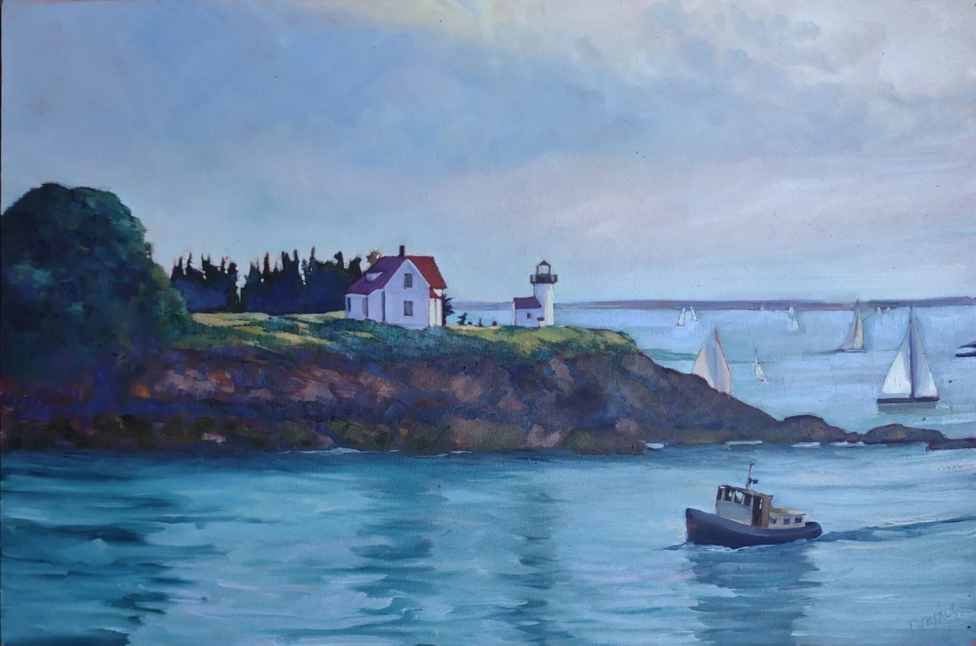
| The beach at L’Anse aux Meadows. Can you imagine landing a Norse longboat through those rocks? (Photo by Carol L. Douglas) |
I do a lot of scrambling around on rocks. Over the past few years that’s become increasingly difficult. Yesterday, I had a cheilectomy on my right great toe. It’s going to be followed by the same procedure on the left foot, although whether I can squeeze that in before my first event of the season—Santa Fe Plein Air Fiestaon April 28—remains to be seen.
Hallux rigidus is not necessarily caused by old age; it can be the result of overuse injury. Me and Shaquille O’Neal, all the way.
Apparently, you can’t just saw off a piece of bone without discomfort. It hurts like hell this morning, so I will do what my doctor ordered, which is to rest and keep it elevated. This is an opportunity to catch up on my reading, starting with some Old Norse news.
 |
| Recreated settlement at L’Anse aux Meadows. (Photo by Carol L. Douglas) |
Last week, Birgitta Wallace, a senior archaeologist with Parks Canada, told Live Science that she has a pretty good idea where the fabled Viking settlement of Hóp (Vinland) was located. She’s narrowed it down to an area of eastern New Brunswick, bounded by Miramichi and Chaleur Bay.
A straight line drawn between these points is about sixty miles long. A long peninsula extends out between them into the Gulf of St. Lawrence, making her guess an area of several hundred miles of remote coastline. Compared to other estimates, that’s quite specific—archaeologists have placed Hóp as far south as the Hudson River.
 |
|
The large circle is where Birgitta Wallace believes Hóp is located. The small circle is the location of L’Anse aux Meadows.
|
The only verified Norse site in the New World, L’Anse aux Meadows, was discovered based on just such an educated guess.
According to the Icelandic Saga of Erik the Red, Thorfinn Karlsefni and his company found Helluland (Baffin Island), Markland(somewhere in Labrador), Kjalarnes promonatory, the Wonderstrands(possibly Labrador), Straumfjörð(location unknown) and, finally, Hóp. This last was a bountiful place, where no snow fell during winter. Not Maine, clearly.
 |
| The inhospitable landscape of northern Newfoundland. (Photo by Carol L. Douglas) |
Historians had long believed that the Old Norse name Vinland meant that the settlement contained wild grapes. That meant that Hóp had to be south of New Hampshire because, with few exceptions, wild grapes don’t grow any farther north.
Norwegian explorer Helge Ingstad and his wife, archaeologist Anne Stine Ingstad, doubted that theory. They believed the name meant ‘land of meadows.’ Based on Eric the Red’s descriptions, they narrowed down their area of search to the northern arm of Newfoundland. In 1960, they started asking the locals if there were any old Indian sites in the area.
 |
| One of the foundations excavated by the Ingstads. (Photo by Carol L. Douglas) |
In 1960, local George Decker led them to a group of mounds near the village. Residents had called this “the old Indian camp.” These grass-covered bumps turned out to be the remains of eight Norse houses, dating from 1000 AD and definitively connecting the site to the Icelandic Sagas.
Wallace is back to thinking about grapes. Chaleur Bay means “bay of torrid weather.” It’s warm compared to Maine. Grapes do grow wild there. Wallace thinks that region contains everything described as being at the legendary Hóp: wild grapes, salmon, barrier sandbars and natives who used animal-hide canoes.
Based on the Ingstads’ experience, Wallace should, by all means, scout around the bay. And if she’s successful, it will give me something to read about when I get my other foot operated on.